Few places touch our hearts like the Black Hills
of South Dakota…Other places might include the farmlands of North Dakota, the
forests of Northern Wisconsin or the lakes in Ontario. We have talked about
each of these areas (except Ontario) as an ultimate landing place when we stop
traveling or perhaps slow down a little and the Black Hills is at the top of
our list!
Why you ask? If you have ever been here and seen
the beauty of the area yourself, you know the answer. But there are other
reasons as well. How about no mosquitos?
The abundant wildlife in the form of deer, elk, antelope turkeys and buffalo. For
us, it is centrally located to many of the other activities we like to do and has
all four seasons without a harsh winter. All of these things combined has
really brought it to the top of our list of areas to look for property. This is
probably our 6th or 7th trip out here looking for
property and we have narrowed down our search area and are ready to pull the
trigger!
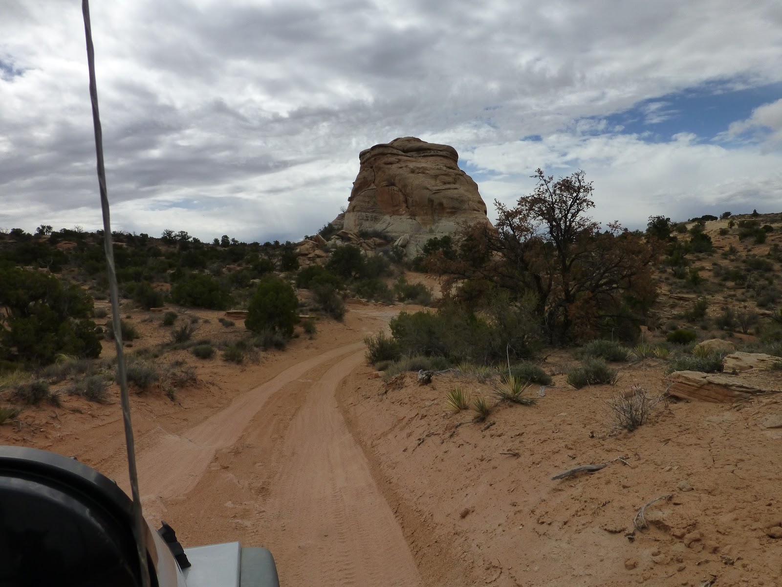
Speaking of snow I don’t think we have had a day
we have not had snow in the past week. We ran into quite a bit of snow on our
drive to Casper and even more when we arrived there. As a matter of fact we stayed an extra day in
Casper so we would not have to travel in the snow.
 |
| Does it get any more beautiful than this? |
 |
| We had to stop for this herd of elk to cross the road |
 |
| Headed up the mountain switchbacks |

 |
| Dakota LOVES playing in the snow! |
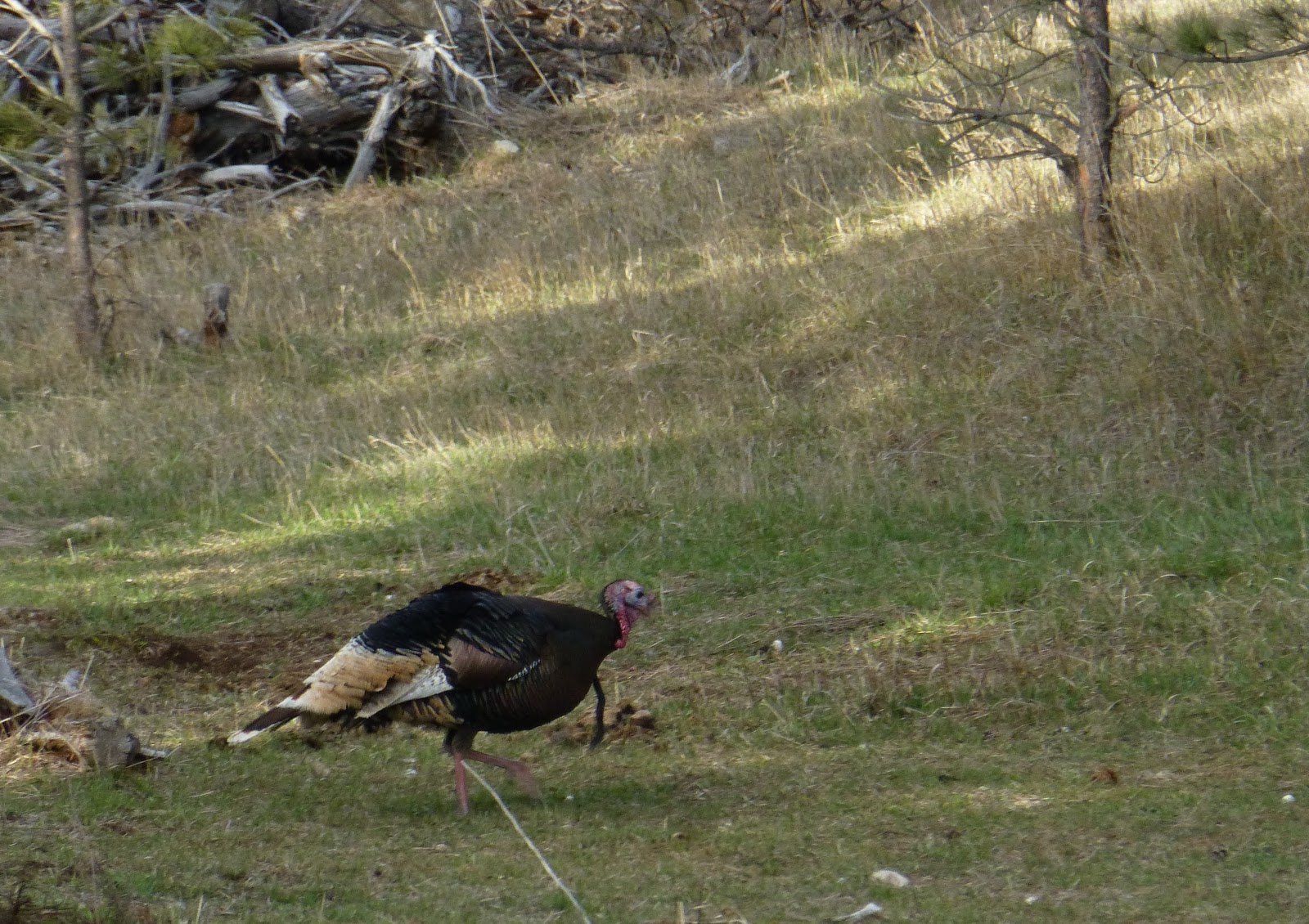
When we arrived to the Black Hills, we had
originally planned on dry camping at Ditch Creek Campground but a look at the
forecast for the first few days we were in the area called for continued snow
and rain so we diverted to a campground where we at least had power to keep us
a little warmer. Country Charm Cabins is
has a small campground with deer and turkeys all around the property driving
the dogs crazy throughout the day.

 |
| This guy was showing off for the ladies |

So what are we looking for in the perfect piece
of property? Numbers 1, 2 and 3 on our list are a view, wildlife and being
remote. Of course price also plays a key role. There are plenty of beautiful
places if you have a couple of million. Our budget is WELL below that. Ideally
we would like the property to border National Forest lands but that is not a
deal breaker. Water and power is also a consideration. In many areas of the
Black Hills the water is just too deep to practically have a well. Some areas have rural water (~$80-120/month)
while others have no water at all and require you to truck in your own water.
Working with a realtor we narrowed our search
down to about a dozen properties in the Custer/Pringle area. Some of the pieces
were as small as 5 acres while the biggest was 80 acres. Some had huge sweeping
views while others had smaller views of valleys or pockets of forest. We
weren’t tied to one view or the other as long as we liked what we saw. We drove
by some eliminating them without getting out of the truck and eliminated more
after walking them. Finally we had narrowed down our choices to 3. The remote
80 acre piece, and a 5 acre piece bordering National Forest land and a 50 acre
piece which also bordered the National Forest. Each had their pros and cons and were unique
in their own special way.
The 80 acre piece had sweeping views and several
deep ravines. The down side it was really remote and would cost almost $20,000
to bring power in, no water and did not have the amount wildlife we were
envisioning.
 |
| View from the 80 acre piece |

The 50
acre piece was about ½ open and ½ wooded. It had power right to the property
line but would require us to truck in our own water.
 |
| The wildlife in this area is incredible! |
The 5 acre piece was along a road but it
bordered National Forest land and had great views as long as no one built in
front of you.
 |
| A little too close to the road for us |
Our plan was to continue to walk each of these
pieces, look for building sites and get a feel for each of them. Do we see
ourselves living there?
After walking each piece on more time we decided
that the 50 acre parcel was the one for us. We would need the seller to come
down a bit to get it into our comfortable price range but we were confident
that we could get the deal done. Meeting with our realtor the next day we told
her which piece we decided on and what we would like to offer. That is when she
informed us that the seller had rejected a higher offer just a few weeks before
and did not seem willing to go much lower than their asking price!
Disappointed we did not even bother writing an
offer and headed back to our rig. With the weather forecast calling for warmer,
sunny weather we decided to move up to Ditch Creek. Although it was only 30 or
so miles what a difference! We noticed a little snow as we were driving from
Custer to Hill City and a little more from Hill City to Ditch Creek Rd. But we
were not prepared for the amount of snow we found on the road itself!
Apparently this little valley receives and retains more snow then the surrounding
area!
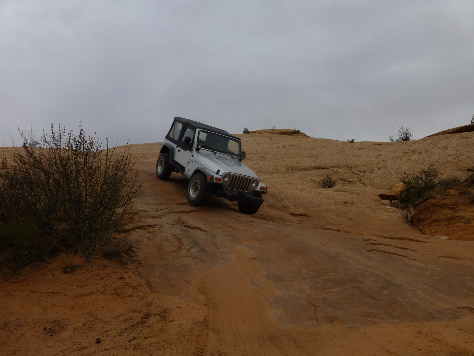
Once on the road you are really committed as the
first place to turn around is 4 miles down the road at the campground itself.
The road was slick and sloppy requiring us to put both vehicles into 4WD. Even
with that we slipped a little going up a few hills. Luckily we made it to the
campground without running into any other traffic.
It was apparent that no one had been to the
campground in quite a while and after a little slipping and sliding we got the
rig parked into our favorite site.


Ditch Creek is a beautiful campground right
along one of our favorite trout creeks. Usually $15/night the campground is
free during the off season. 047 Over the next couple of days the snow had
melted but then late the following afternoon it started to rain, eventually
turned to snow and we woke up to over 7” covering the area!

 |
| Snow on our favorite little trout creek |
I created this video of our drive in and parking
the rig but what you will really want to see is me crashing the drone into a
tree. As I was flying it, I was not paying attention and crashed it right into
a tree! It took me a while to find it but luckily the drone survived without
damage and is ready to fly again. The crash is on the tail end of the video
below……
Down, but not out we continued to drive around
looking at different pieces of property. We were driving by a 45 acre piece we
had written off on a drive by during our last visit to the area when Barb said
“let’s just stop and walk it”. From the road it looks like an open arid 45
acres. We saw nothing but a prairie dog village. You could not see the entire property due to a
hill so we decided to walk it anyway. Once we got out and started walking it we
discovered that it has a 20 acre wooded section you cannot see from the road.
Not only that there were beautiful views, a small valley in the pockets of the
trees, and we saw deer and signs of turkey in the area. After our initial walk
we liked this piece even better than the 50 acre parcel!
The following day we walked the 45 acres with
our realtor and her husband to make sure where we thought the boundaries were
were indeed the boundaries. After they left we walked it again and stood in
several areas that we thought might make great house sites. We also marked each
of the survey markers with our GPS. When we got back to the truck we entered
them into Google Earth to get an idea of how the property laid out with the
surrounding area.
So much goes into making a decision like
this…excitement, doubt, fear….do we want to settle down here eventually? Do we
want to spend this much money? Is this the right place? Without any hesitation
we said yes to each of those questions and the next day we wrote up an offer.
We were not expecting the seller to accept that offer and of course they didn’t
but after a little back and forth they accepted our offer and we are set to
close in less than two weeks!
 |
| Overview of the property |
 |
| View from our house location |
 |
| Some other random shots...... |


We are very excited about this new adventure,
having a home base, having a place for friends to stay over when in the area
and thinking about when and what to build over the next couple of years. More
to come on that in the future……..