Palo Duro Canyon. In the flat lands of Texas it is the last
thing you would expect to see is a 120 mile 800 foot deep canyon filled with deer,
turkey and other wildlife. “Palo Duro” is Spanish for “hard wood” in reference
to the Juniper trees throughout the park.
There are several campgrounds within the park. Last year we stayed in
the Mesquite Campground, this year we opted for the Juniper Campground. Site
108 and 107 to be exact.
 |
| Site 108 |
 |
| Site 107 |
With our Texas Parks Pass we paid $26/night for 3 nights and
$13/night for 2 nights. Forget internet or cell once you are in the canyon. You
will have to drive up to the top to check voicemails and emails.
 |
| Cloudy day in the canyon |
We were anxious to hit the trails and do some hiking so we
hit the trails shortly after we got set up. We started out in the lowlands with
a nice easy hike and since all the trails here are dog friendly we decided to
bring them along. The Juniper Riverside Trail winds along the bottom in the
middle of Park Road 5 loop.
 |
| Headed down Juniper Trail |
 |
| They even did some rock climbing! |
We followed that for about a mile then cut across the road
to the Juniper Cliffside Trail back to our campsite.
The dogs were panting like crazy when we got
back, guess we need to break them in a little slower!0058 0078
 |
| So glad to be home! |
 |
| We saw lots of Roadrunners! |
The next morning Barb and I started out on the Lighthouse Trail full of energy.
It was a brisk 26
degrees, the trail is rated as moderate and follows along a wash much of the
way. 0084
As we were going down the trail we tried to remember the
last time we were hiking. Not counting our walks on the beach, we counted back
the weeks. Florida, no hikes. Pennsylvania, no hikes. North Dakota, no hikes.
We found ourselves coming up with August 30
th when we hiked in Custer State Park with Dino and Lisa. A couple days short of 6
months ago!
As we walked along we started talking about past hikes. What
was our favorite hike? What was our most challenging hike? What hike do we
really want to do that we have not done yet?
We had a hard time picking out our favorite hike. We kept
going back and forth between a handful of hikes that made the top of our list.
Each one was memorable for its own reason; beauty, scariest, most challenging……
in the end we did not come up with our top hike but instead came up with our
top 6. The links will take you to the blog posts of that hike with more details
and pictures.
For beauty
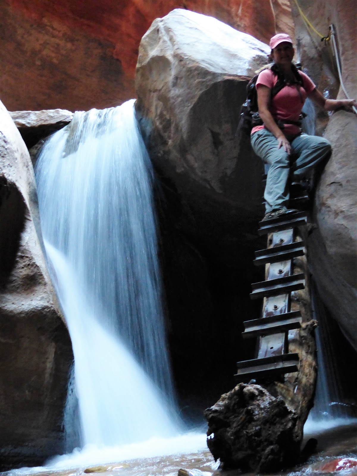
Kanarraville Falls/Spring Creek Trail in Utah is hard to beat. It is
not a well-known hike but it is one we will never forget as much of it is in a
narrow slot canyon that you have to hike through water. It’s okay, your feet go
numb after a while and you don’t even feel the water!
 |
| Kannaraville has two ladder climbs |
 |
| The second ladder climb |
The first time we saw pictures of
Antelope Canyon we knew we
wanted to take this hike. We debated whether this was really a hike or a tour,
you could argue both sides. One thing you cannot argue is its beauty.
 |
| You cannot beat the beauty in Antelope Canyon! |
For daring, there are two hikes that come immediately to
mind.
Picacho Peak and
Angels Landing in Zion. Both are considered difficult
hikes with cliff edge sections where a wrong move and send you plummeting
several hundred feet.
 |
| Picacho Peak from afar |
 |
| What Picacho looks like up close |
 |
| Angels Landing, that is the parking lot waaaay down there! |
 |
| Barb headed down the Angels Landing Trail |
We tend to gravitate towards these types of daring or unique
hikes and are glad we did them but would probably never do them again. This is
what led us to a particular hike in Lake Mead. We were turned onto this trail by
our friends Steve and Joan as we had never heard of it, in fact I still don't know the name of it. Starting out we did know of what
it entailed but it quickly became one of our
top hikes. It had a combination of rope climb challenges and beauty that led it to
make our list
 |
| Going down on of the ropes |
 |
| And up another! |
Our most challenging hike was surprising to us. We don’t
know if it was truly this challenging or if we were just out of shape but
either way
Sheep’s Creek Trail in the Yukon kicked our @sses! This 5km trail
ascended 1,400 feet with some very steep sections requiring us to stop for a breather every 50 to 100 yards. We
wanted to turn back several times but finally made it to the end.
 |
| Views on the way up Sheep's Creek |
 |
| Incredible views! |
But back to the hike at hand; Lighthouse Trail in Palo Duro
is the most popular hike in the park. This 6 mile round trip trail starts out
near the top of the Park Road 5 loop at the bottom of the canyon. The trail
guide tells you that it is 2.7 miles to the end of the trail.
 |
| We are headed to those two pinnacles |
The trails in the park are well marked with both the trail
name and mileage markers. 0090
What they don’t tell you is that 2.7 miles is the end of the
established trail and that it actually
goes on for about another ½ mile up some steep grades with some scrambling
required before you actually get to the lighthouse formation.
 |
| The trail narrows and gets steeper |
 |
| Almost there! |
 |
Just a few more feet!
 |
| Made it! |
|
 |
| View from the top |
 |
| Looking for handouts |
The next day we chose the CCC Trail which starts out at the
Visitors Center and winds 1 ½ miles down the canyon to the Amphitheater.
It was 37 degrees
when we started our decent. Although the trail is rated as difficult we did not
think it was that hard at all. The most difficult thing is navigating around
the constant golf ball to baseball size rocks in the trail. Definite ankle
rollers so you had to be careful.
 |
| You had to watch your footing most of the way |
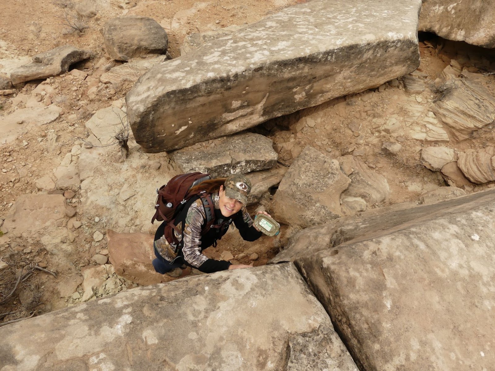
Along the way there are several CCC built bridges and three
geocaches, Barb found each of them and even left one of her precious travel
bugs!
 |
| These bridges were built in the 1930's |
 |
| Found it! |
About a mile into the hike you have the option of carrying
on to the Amphitheater or turning onto Goodnight Peak Loop. We chose the peak
loop which took you to another overlook of the canyon.
Beautiful vistas throughout this park! After exploring the
peak area a bit we hiked the mile and a half back up to the Visitors Center to
our truck, the total trip took about 2 hours.
 |
| Barb contemplating her upcoming birthday |
Saturday was moving day as someone had our site for the next
few days so we move across the road to site 107. It was also winterizing day as
Saturday night was forecasted for teens, Sunday was not going to get above
freezing and Monday we head north to the frozen tundra.
 |
| Ready for the deep freeze! |
So we are winterized for the foreseeable future. Looking at
the long range forecast for Pringle, we are hoping to de-winterize about the 15
th
of March, hopefully sooner.
Although none of these hikes made our top 6 it was nice to
get out on the trails. Two hikes that are at the top of our “someday” list are
The Narrows in Zion and hiking the Grand Canyon from rim to floor. I am sure
there are other equally as beautiful hikes but they are not on our radar at the
moment. If you know of any “must hike” trails please send us a note so we can
get them on our list!
Sunday was a big day is it was Barb’s birthday! I probably
shouldn’t tell you exactly how old she is but I will say it was a milestone
birthday! How did we celebrated? I took her to Amarillo for a day of fun!
 |
| Nothing but the best for my Barb on her birthday! |
After that fun we went to
The Texan Steakhouse. The weather was a bone chilling 10 degrees with a little snow. We better get used to it!
Tomorrow morning we pack up and hit the road pointing the
rig towards Nebraska. It was a good decision staying the extra couple of days
as the lows in Pringle are -12 and -14 last night and tonight. When we get there Tuesday we will be
basking in highs in the 20’s and lows around 0. Time to break out the shorts!